Streamline insights for water utility mapping
Plan, maintain, mitigate risk and respond to disruptions with unparalleled accuracy and efficiency using comprehensive GIS mapping for water utilities.

Data-driven water excellence


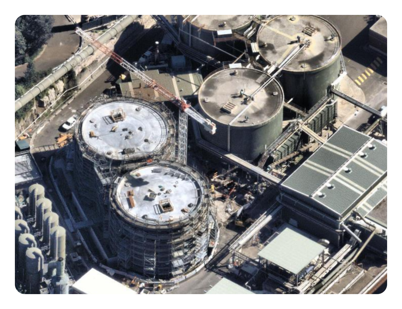
Plan networks with precision
Reduce inefficiencies and cut costs as you build, monitor and maintain your network with accurate plans informed by crystal-clear, data-rich aerial content
Fast-track decision making and reduce operational risk within your catchment area powered by city-wide 3D mesh, Digital Surface and Terrain Models, and point clouds.

A new perspective for asset management
Maintain an accurate inventory of infrastructure placement and condition, from dams and catchments to pipelines and treatment plants — on-demand, from wherever you are.
Proactively identify potential water leaks, erosion, and vegetation encroachment with industry-leading terrain models and AI-powered rapid feature detection.

Assess water quality and monitor the environmental impact of your assets with ease and accuracy using consistently current location intelligence.


Keep services flowing with property intelligence
Understand previous incidents like floods and model future impact to better inform network resilience and response planning with access to historical, post-catastrophe intelligence.
Provide up-to-date information on water system issues and response times when your customers are relying on you most.

“Having that level of information before you actually do that first site visit is really important; it’s just so revealing, it’s like being on site, it takes it to another level”
Spatial Applications Developer, Sydney Water
“Nearmap has property boundaries, road names, and other useful background data. That means that in many cases, you don’t need to use a GIS program.”
Planner & Scheduler, Veolia Network Services Brisbane
Integrations
Sync with your workflows
Quickly sync Nearmap to your workflows with seamless integrations. With our APIs, you can create bespoke solutions to better meet your needs.Integrations & APIs


Products for water utilities
Empowering water professionals with property intelligence for a sustainable, more efficient future.
Applications

Imagery

Insights
Get started today
Bring your challenges to the trusted partner in elevating water utility insights.
Contact Us