Explore every insight with 3D property intelligence
Elevate your understanding of the world with immersive high-resolution 3D mapping data.


See what is

See what was

See what can be

Digital twin software sets the stage for smarter cities
Reinvent urban planning, emergency operations, and public works projects with the ultimate foundation for digital twin modelling and smart cities.
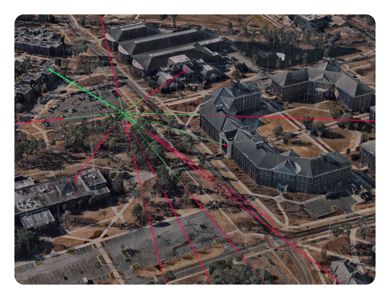
Modernise visualisations of infrastructure projects
Heighten stakeholder management, infrastructure design, and construction execution with realistic high-resolution 3D geospatial data.

Advanced insights for advanced decisions
Leverage a cutting-edge view of the future of risk assessment, underwriting, and claims processing with constantly updated and historical 3D insights.

Bid, plan, and deliver with data-driven certainty
Prospect, manage, and maintain service contracts with high-resolution 3D data for accurate 360-degree site assessment and monitoring.


How Nearmap 3D expands your scope
Insurance
Expedite risk assessment and claims processing with current and historical 3D insights.
Utilities
Monitor and assess your infrastructure in context with insights from high-resolution 3D.
Government
Monitor changes, development, and public services with high-resolution 3D insights.
Roofing
Gain valuable insights from immersive 3D experiences for accurate estimates and efficient execution.
AECO
Enhance site selection and preliminary design with high-resolution 3D topographic data.
Solar
Accurately visualise and estimate solar output for installation designs.