Industry topics glossary

Insurance Claims Management Software | CAT Response | Nearmap NZ
Aerial intelligence accelerates insurance claims and catastrophe response. Nearmap helps NZ carriers assess flood, cyclone and bushfire damage remotely. Faster settlements, lower costs.
Learn more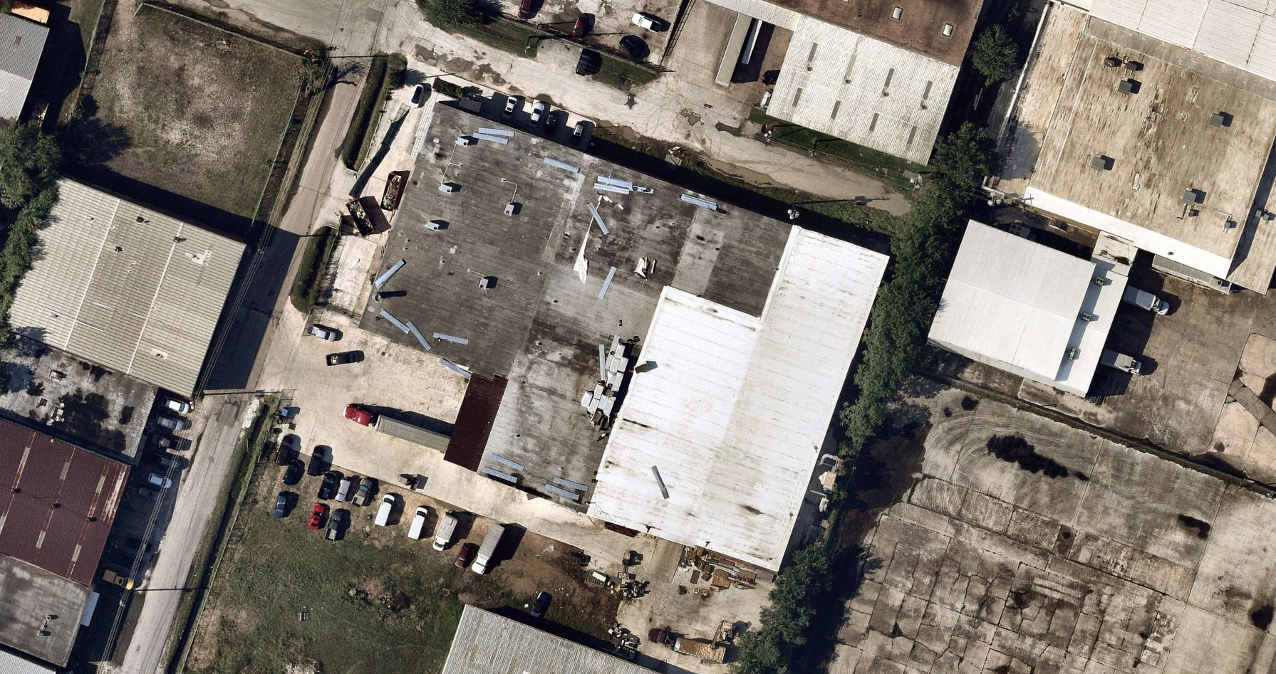
Insurance Data Analytics Software | Nearmap NZ
AI-derived roof age, condition and hazard attributes feed actuarial models, improving risk segmentation and reducing premium leakage for NZ insurers.
Learn more
Insurance Quoting Software | Property Intelligence for Carriers & Brokers | Nearmap NZ
Replace postcode assumptions with parcel-level property data. Nearmap insurance quoting software helps P&C carriers quote accurately with better loss ratios.
Learn more
Insurtech - Modern Insurance Solutions | Nearmap NZ
Explore how insurtech is reshaping insurance with innovative software and solutions, with real-time data. Discover benefit use cases and trends with Nearmap.
Learn more
Location Data | Nearmap NZ
Discover how high-resolution location data aids governments, insurers, and enterprises by analysing the data for planning, mapping and risk management.
Learn more
Location Intelligence | Nearmap NZ
Unlock smarter decisions with location intelligence solutions. Nearmap delivers high-impact data for success in real estate, enterprise, and urban planning.
Learn moreExplore extra resources
Across the globe, GIS professionals are using Nearmap to advance their understanding of the world. Learn more about how these geospatial experts in commercial, government, and insurance sectors are optimizing their efficiencies with our solution.Blog
Learn the tips and tricks of using Nearmap as well as top trends going on in the world of location intelligence.
Webinars
Tune in for a lineup of industry experts highlighting how they’re changing our livable world