Industry topics glossary

Flood Zone Maps | Nearmap NZ
Discover how flood zone maps empower insurers to price flood risk accurately, reduce losses, and respond faster with real-time aerial intelligence.
Learn more
Fraud Detection Software | Nearmap NZ
Discover how fraud detection software protects insurance agencies from losses. Explore tools, features, benefits, and real-world use cases.
Learn more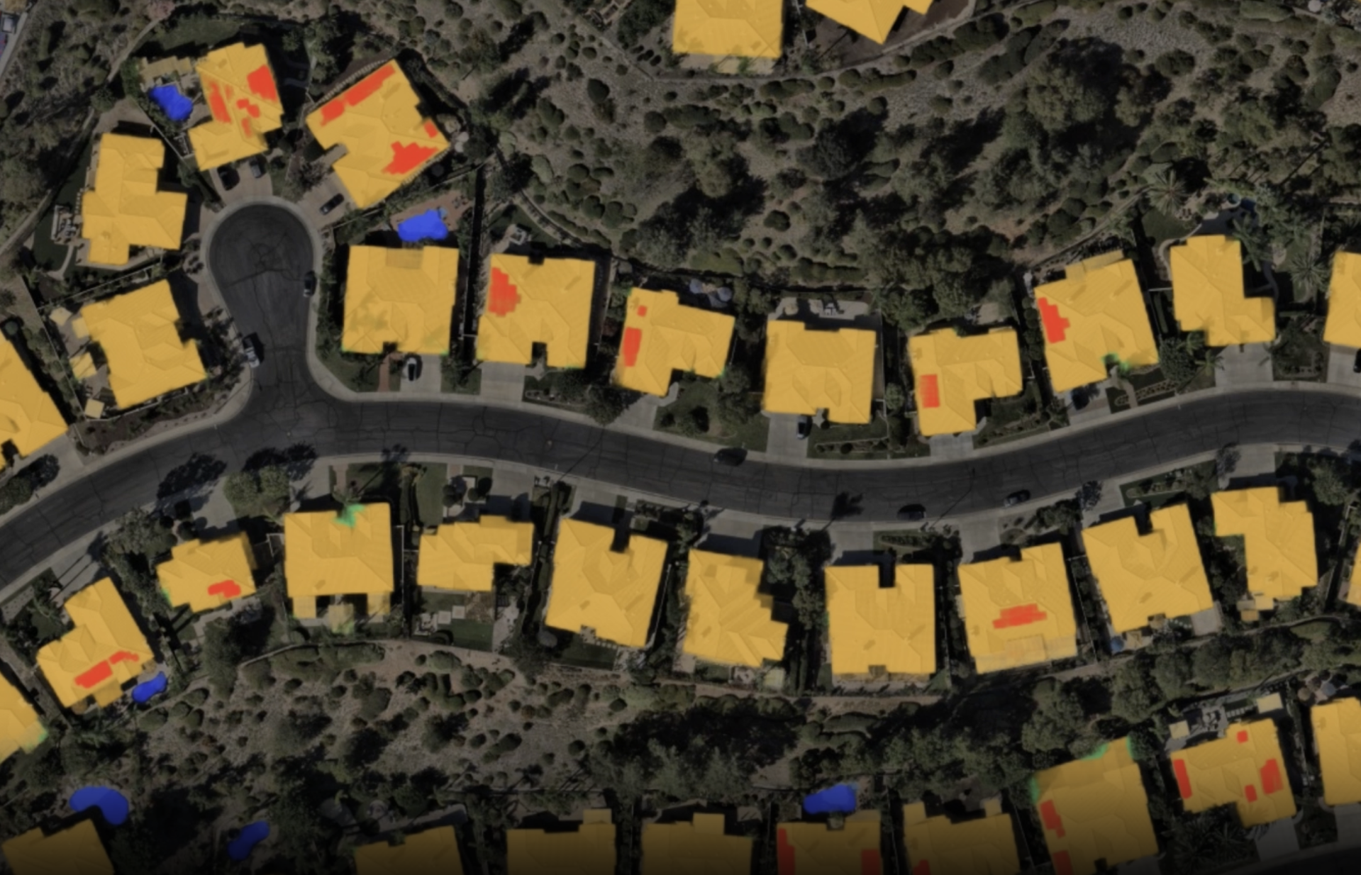
GIS Data Software (Geographic Information System) | Nearmap NZ
Learn how GIS data powers risk modelling, planning, and analysis. Nearmap delivers GIS data collection, management, and intelligence at scale.
Learn more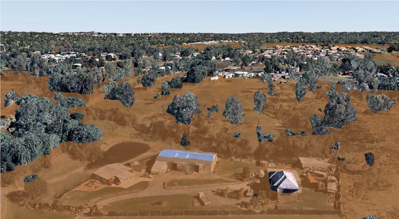
GIS Mapping | Nearmap NZ
Explore how GIS mapping transforms data into insight. Nearmap delivers advanced GIS mapping software, services, and solutions for intelligent decisions.
Learn more
GIS Software | Nearmap NZ
Learn how GIS software and Nearmap solutions help governments and businesses plan smarter and manage assets, reducing risk with real-time geospatial insights.
Learn more
Geospatial Intelligence | Nearmap NZ
Make smarter decisions with Nearmap geospatial intelligence. Explore advanced geospatial analysis and imagery with real-time insight, planning, and solutions.
Learn moreExplore extra resources
Across the globe, GIS professionals are using Nearmap to advance their understanding of the world. Learn more about how these geospatial experts in commercial, government, and insurance sectors are optimizing their efficiencies with our solution.Blog
Learn the tips and tricks of using Nearmap as well as top trends going on in the world of location intelligence.
Webinars
Tune in for a lineup of industry experts highlighting how they’re changing our livable world